Jotunheimen
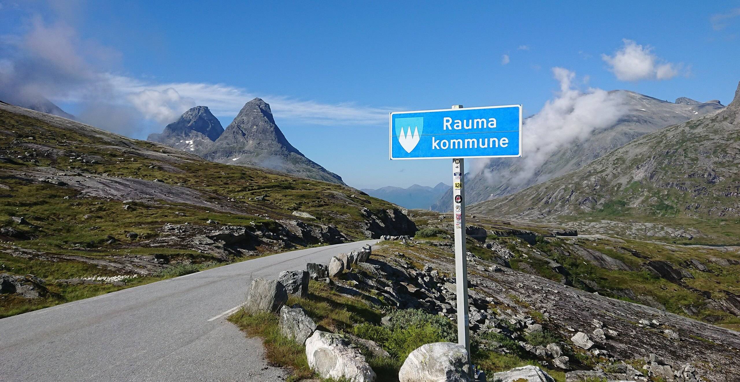
Jotunheimen is the mountain massif in central southern Norway with the country's highest peaks, Galdhøpiggen (2,469 m) among them, and a national park of 1,151 km² at its core. Two Scenic Routes cross its edges, Sognefjellet and Valdresflye; both close in winter, opened in late March and early April in 2026, and the Gjende boat runs in summer (status: October 2026).
The facts that decide the trip
- Where is it? Between Ottadalen, Gudbrandsdalen, Valdres and Sogn
- National park Established 1980, about 1,151 km²
- Highest peaks Galdhøpiggen 2,469 m, Glittertinden 2,452 m
- Marked trails About 300 km of T-marked routes in Jotunheimen and Utladalen
- Dump stations Vågåmo, Lom and Gaupne (Sognefjellet); Vågåmo and Fagernes (Valdresflye)
The national encyclopaedia describes Jotunheimen as about 3,500 km², holding the country's 26 highest summits. The national park was established in 1980 and covers its central parts, about 1,151 km². The park board puts the length of T-marked walking routes in Jotunheimen and Utladalen at about 300 km.
The two roads in
Sognefjellet (Fv. 55). The Scenic Route runs 108 km between Lom and Gaupne. It climbs to 1,434 metres, which the road authority calls the highest mountain pass in northern Europe. The section between Rustasætre/Vegaskjelet and Turtagrø is closed in winter. In 2026 it opened on 2 April, and earlier openings fell between 12 April and 1 May. The lodge at Sognefjellshytta sits at the highest point of the route, at about 1,400 metres. Its toilets are open from mid-May to mid-September.
Valdresflye (Fv. 51). The Scenic Route runs 49 km between Hindsæter and Garli, with a detour to Gjende, at 890 to 1,389 metres above sea level. Garli–Maurvangen is closed in winter. In 2026 it opened on 30 March, and earlier openings fell on 22 March and 5 April. At the high point, Flye 1389 has a café and toilets; the toilets are closed from October to March.
On both roads the route page warns that after opening, the road may still close for a period at night and in bad weather.
Practical note: fill the tank in the valley before either pass. The road authority's traffic line is +47 815 48 991.
Gjende and Besseggen
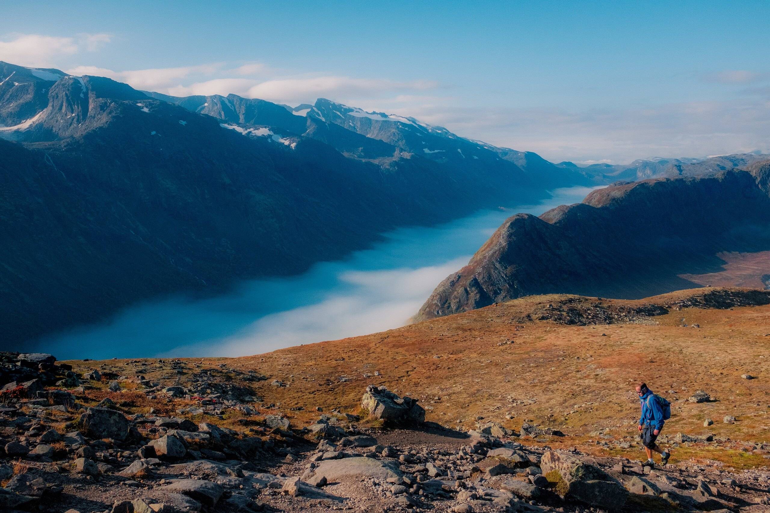
Gjende lies 984 metres above sea level. In summer a boat links Gjendesheim at the eastern end, Memurubu on the north side and Gjendebu at the western end. The boat company says most walkers do Besseggen from Memurubu back to Gjendesheim, with up to seven daily trips from Gjendesheim to Memurubu. Booking for the 2026 season opened on 1 December 2025.
Parking. This is the practical point most visitors miss. The boat company states there is no long-term parking at Gjendeosen. If you walk Besseggen or take the boat, you park at Reinsvangen and ride a shuttle bus to the quay. Visit Gjende runs both the car park and the shuttle, and parking can be booked in advance. The road authority confirms that the former trailhead car park at Gjende has been moved to a larger car park at Reinsvangen, with toilets.
Galdhøpiggen by road
The road to Juvasshytta, below Galdhøpiggen, starts at Galdesand in Bøverdalen. The national encyclopaedia calls it Norway's highest road: its highest point is 1,853 metres and the lodge stands at 1,842 metres. Whether it charges a toll, and when it opens, is not in the sources for this page, so check locally. The most used routes to the summit start from Juvasshytta or Spiterstulen.
Where you may sleep with a camper
The national rules apply. The Norwegian Environment Agency says camping with a motor vehicle follows the right-to-roam rules: at least 150 metres from an inhabited house or cabin, and as a main rule no more than two days in one place. Driving off the road into open country is as a rule forbidden. The road authority says rest areas are not intended for overnight stays. The national encyclopaedia counts around 20 lodges run by the Norwegian Trekking Association (DNT) in Jotunheimen, plus private lodges and hotels, for those who would rather sleep under a roof.
Emptying the toilet: not at Scenic Route toilets. Use the dump stations the road authority names for each route: Vågåmo, Lom and Gaupne for Sognefjellet; Vågåmo and Fagernes for Valdresflye.
Plan it
- The route: Western fjords: 10-day road trip crosses Sognefjellet on day 5, from Sogndal to Lom, with a pre-pass checklist.
- The vehicle: Norway camper handbook covers weights, licences and mountain-road driving.
- Free travel tips: Where can you camp in Norway?, Driving in Norway and What does a Norway road trip cost?
Sources
All pages read on 7 October 2026.
- Store norske leksikon, "Jotunheimen"
- Nasjonalparkstyret for Jotunheimen og Utladalen, about the national park
- Statens vegvesen, Norwegian Scenic Routes: Sognefjellet, Sognefjellshytta, Valdresflye, Flye 1389, Gjende
- Gjendebåten: home page and parking and shuttle
- Miljødirektoratet, FAQ on the right to roam
- Statens vegvesen, Drive safe in Norway