Look inside
Real pages from the 2026.2 edition, as you will get them. The guide is in English.
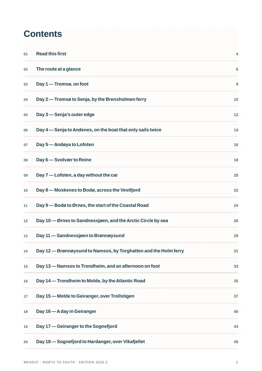
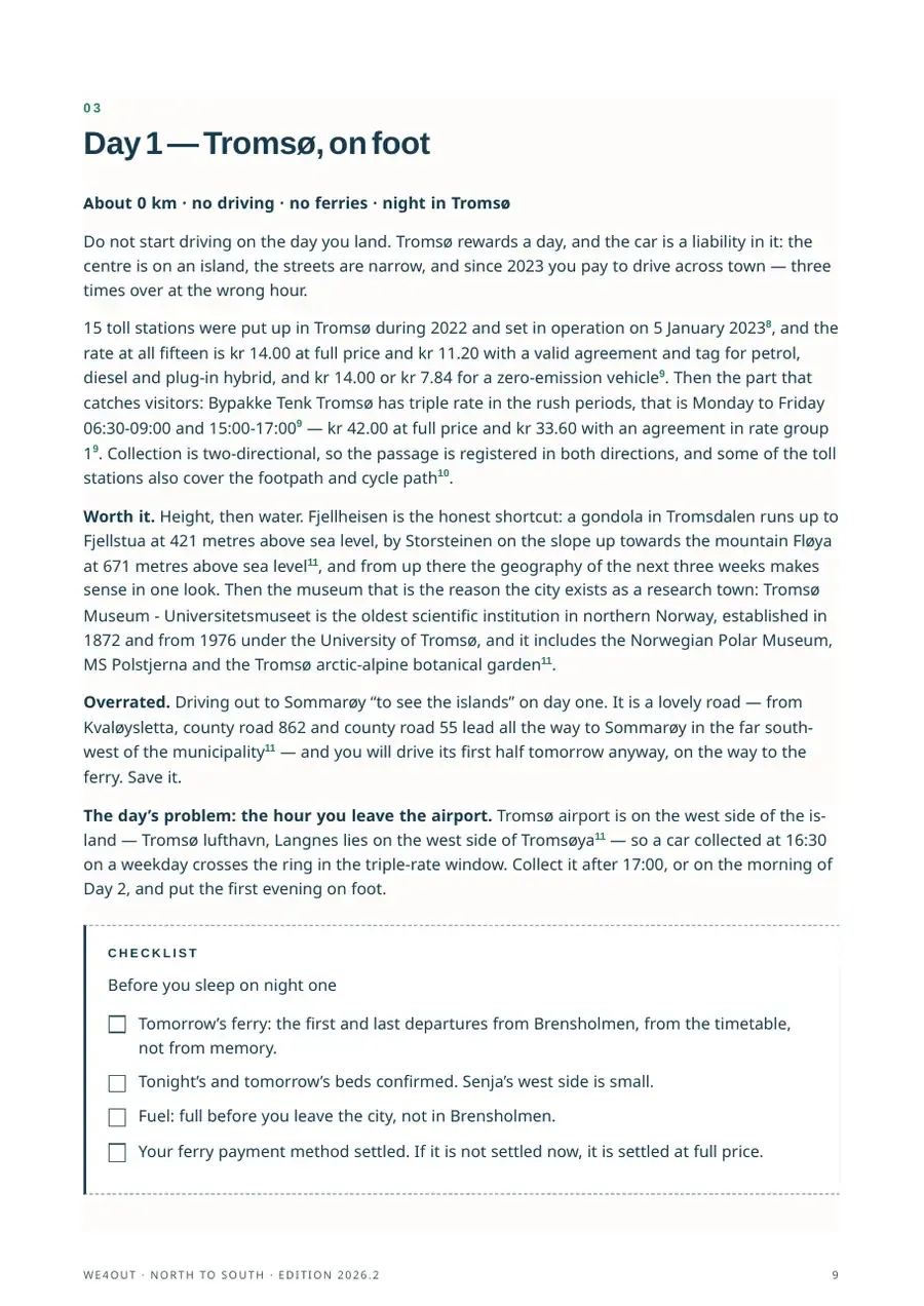
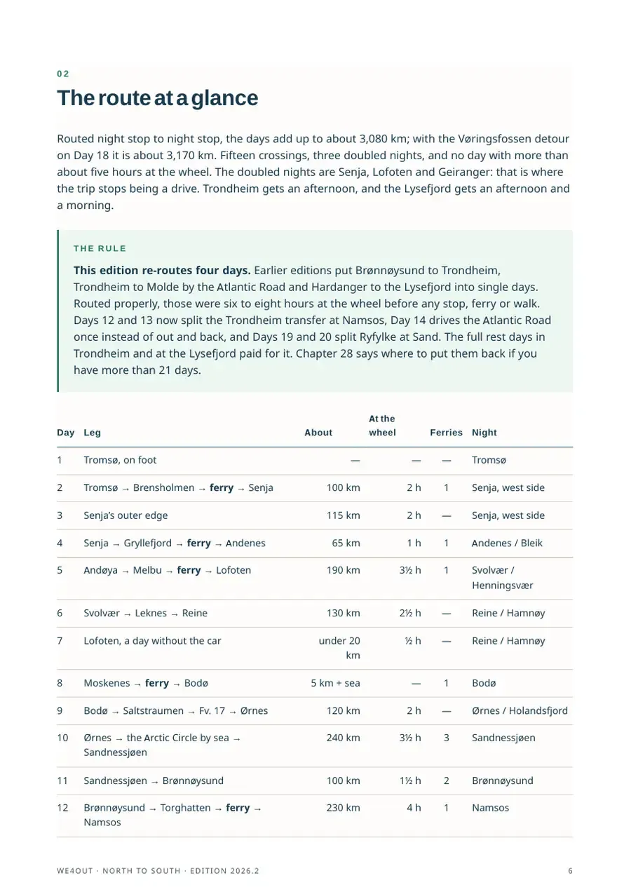
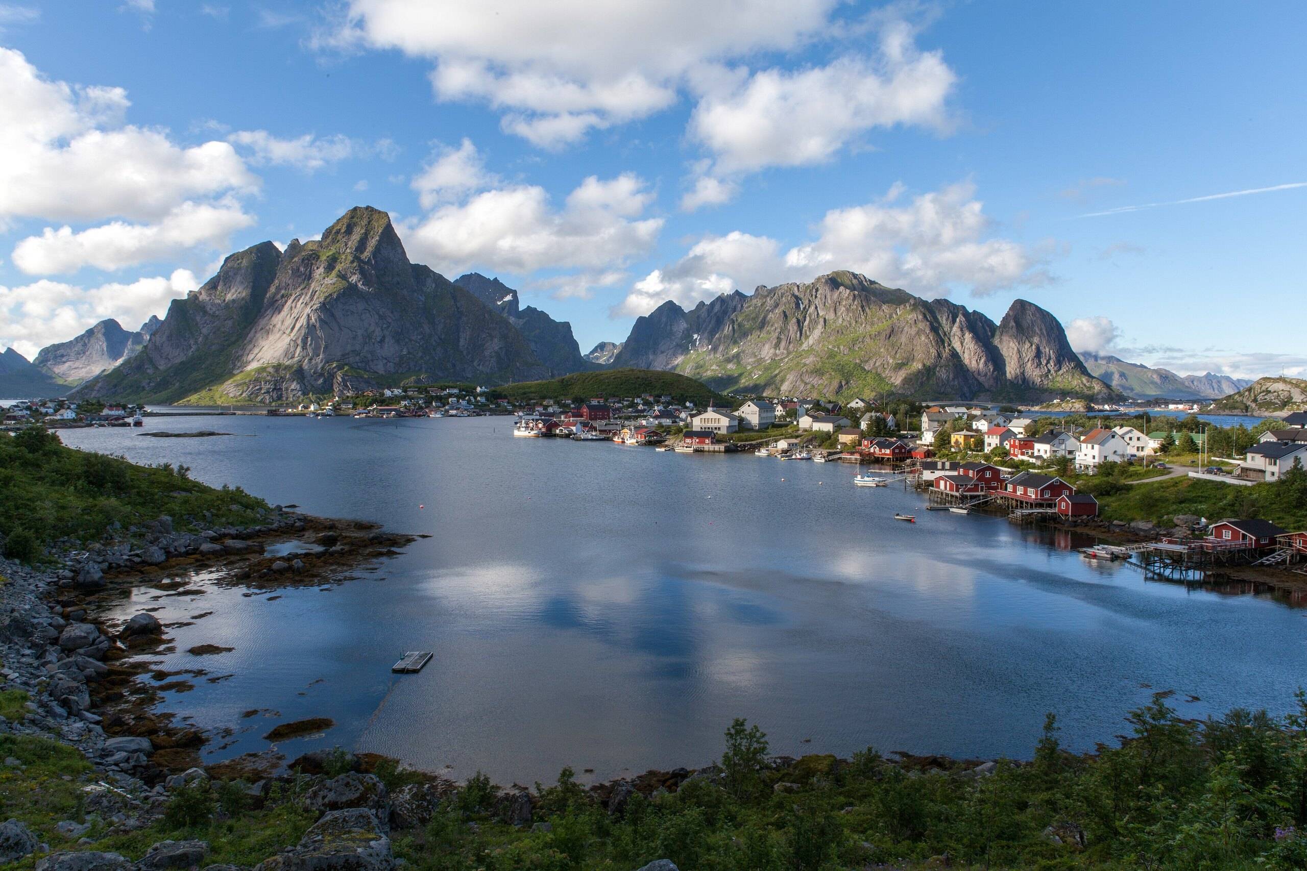
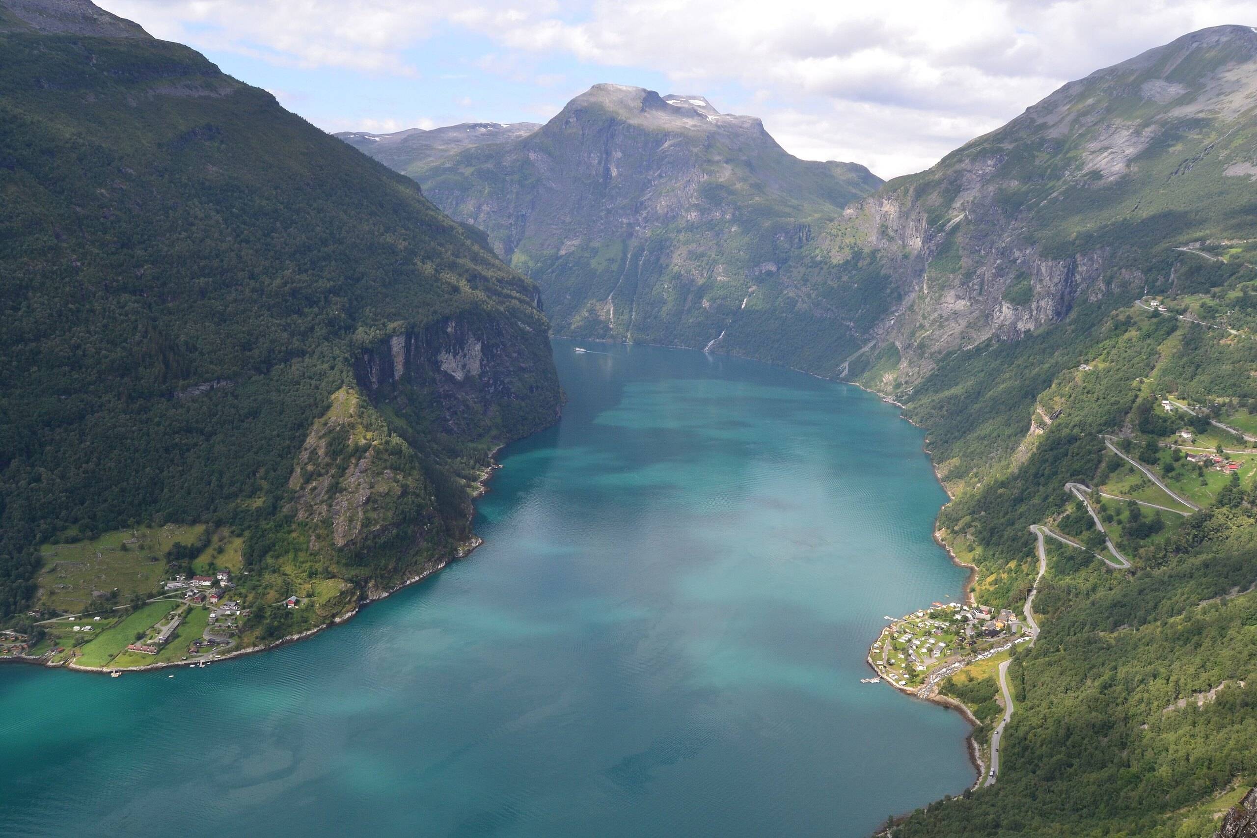
Three weeks is the least time in which the length of Norway starts to make sense. You go from the Arctic coast, through the islands of Lofoten and the empty Helgeland coast, to Trondheim, the fjords and finally the low, warm skerries of the south.
This guide is the backbone of that trip. It is honest about the long days and generous with the places that deserve a second night.
Route preview
- Duration
- 21 days
- Distance
- 3,080 km
- Ferries
- 15
- Season
- June–September
- Pages
- 96
- Last updated
- October 2026
- TromsøStart
- 102 kmSenjaNight
- 180 kmAndenesNight
- 191 kmSvolværNight
- 130 kmReineNight
- by ferryBodøFerry
- 139 kmØrnesNight
- 238 kmSandnessjøenNight
- 100 kmBrønnøysundNight
- 231 kmNamsosNight
- 194 kmTrondheimNight
- 218 kmAtlanterhavsvegenStop
- 76 kmMoldeNight
- 147 kmGeirangerNight
- 324 kmBalestrandNight
- 147 kmHardangerNight
- 201 kmSand (Ryfylke)Night
- 172 kmLysefjordenNight
- 215 kmLindesnesStop
- 75 kmKristiansandEnd
Total3,080 km20 stops
Distances are approximate driving distances between stops. The guide has the full day-by-day plan, sleeping options and alternatives.
Questions
Isn't about 3,100 km too much driving for three weeks?
It is a lot, which is why every day is routed and no day has more than about five hours at the wheel. The guide also shows which legs to shorten. If you want less driving, the Lofoten or western fjords guides go deeper into one region.
Which direction is better, north to south or south to north?
Both work. Starting in the north means the long northern days come first, while the light is at its best. The guide is written north to south and notes the few places where direction matters.
Which languages is the file in?
English. Buyers get every later edition of the file they bought.